


01
Day 1
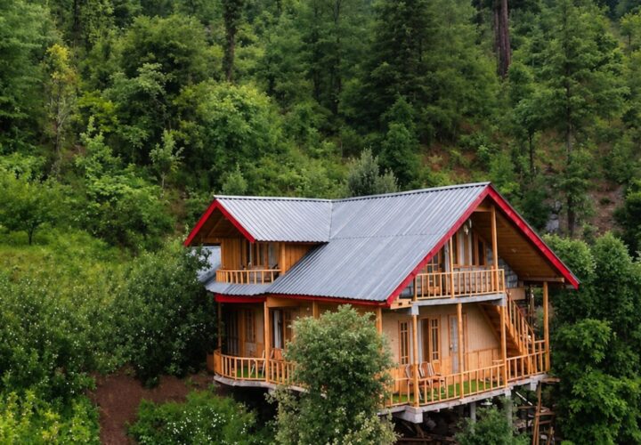
Rajgarh to Habban and forest camp | Transfer to the trailhead, meet the local team and walk to the pre-checked halt.
A longer and less-used Churdhar approach from the Rajgarh side, travelling through Habban and Banalidhar before the high sanctuary ridge.
This route is for trekkers seeking the quieter Rajgarh side of the Churdhar landscape. The state trekking portal lists Habban–Banalidhar–Churdhar as a hard route reaching roughly 3,655 metres. Compared with the popular Nohradhar approach, it needs more careful navigation, logistics and water planning. Forest junctions, remote stretches and cloud can make old digital tracks unreliable. Use a guide who knows the current route and arrange camps or village halts without assuming permanent facilities.

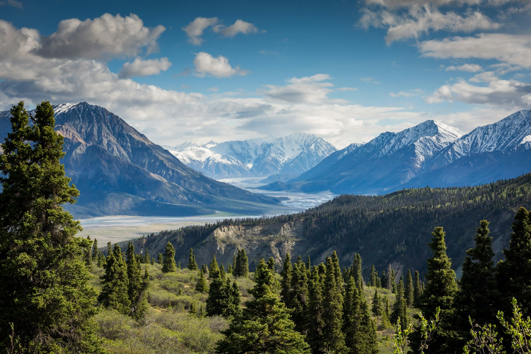
Reach Habban from the Rajgarh side, then follow the locally agreed trail through Banalidhar towards the Churdhar sanctuary and summit area. Break the journey into two ascending stages before returning by the safest agreed route. Daily distances depend on the chosen halts and any forest diversions.
April to June and September to October are the practical seasons. Spring conditions depend on remaining snow; autumn is often clearer but nights cool quickly. Avoid committing to the upper ridge during heavy rain, fog, thunderstorms or fresh snow.
Rajgarh to Habban and forest camp | Transfer to the trailhead, meet the local team and walk to the pre-checked halt.
Banalidhar to Churdhar area | Continue through forest and ridge terrain, reaching the temple or upper halt only in safe visibility.
Descend to the roadhead | Leave early, return by the guide-selected route and keep time for the drive from Habban.
Habban–Banalidhar–Churdhar Trek uses the camps, village rooms or simple mountain accommodation appropriate to its 3 Days / 2 Nights route. The final plan must name each halt and meal arrangement because facilities can change by season.
The transfer plan for Habban–Banalidhar–Churdhar Trek must state how the group reaches Habban near Rajgarh and where it finishes. Snow, road damage or local controls can move the practical pickup point.
The Himachal trekking portal grades it hard because of length, remoteness and route-finding demands.
It reaches the same Churdhar mountain area from a different, quieter approach.
Yes. Current local route knowledge is strongly recommended.
Do not assume it. Seasonal sources may dry up or become unsafe; plan treated water with the guide.
Yes. Weather, forest conditions and group pace may require different halts or an early turnaround.

A high-altitude traverse from Kunzum Pass towards the Moon Lake, trading the Batal road approach for a quieter walk across open Spiti terrain.
A short but steep high-altitude hike from historic Dhankar village to a quiet lake above the Spiti–Pin river confluence.
A very high non-technical trekking peak above Kibber, offering a vast Spiti panorama but demanding excellent acclimatisation, fitness and stable weather.