Day 1
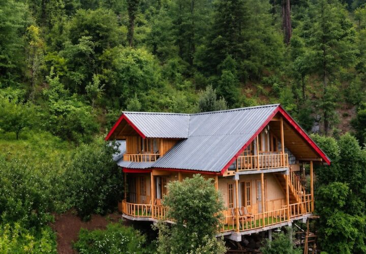
Yulla Khas to forest or meadow camp | Meet the local guide, check water availability and climb steadily to the selected halt.
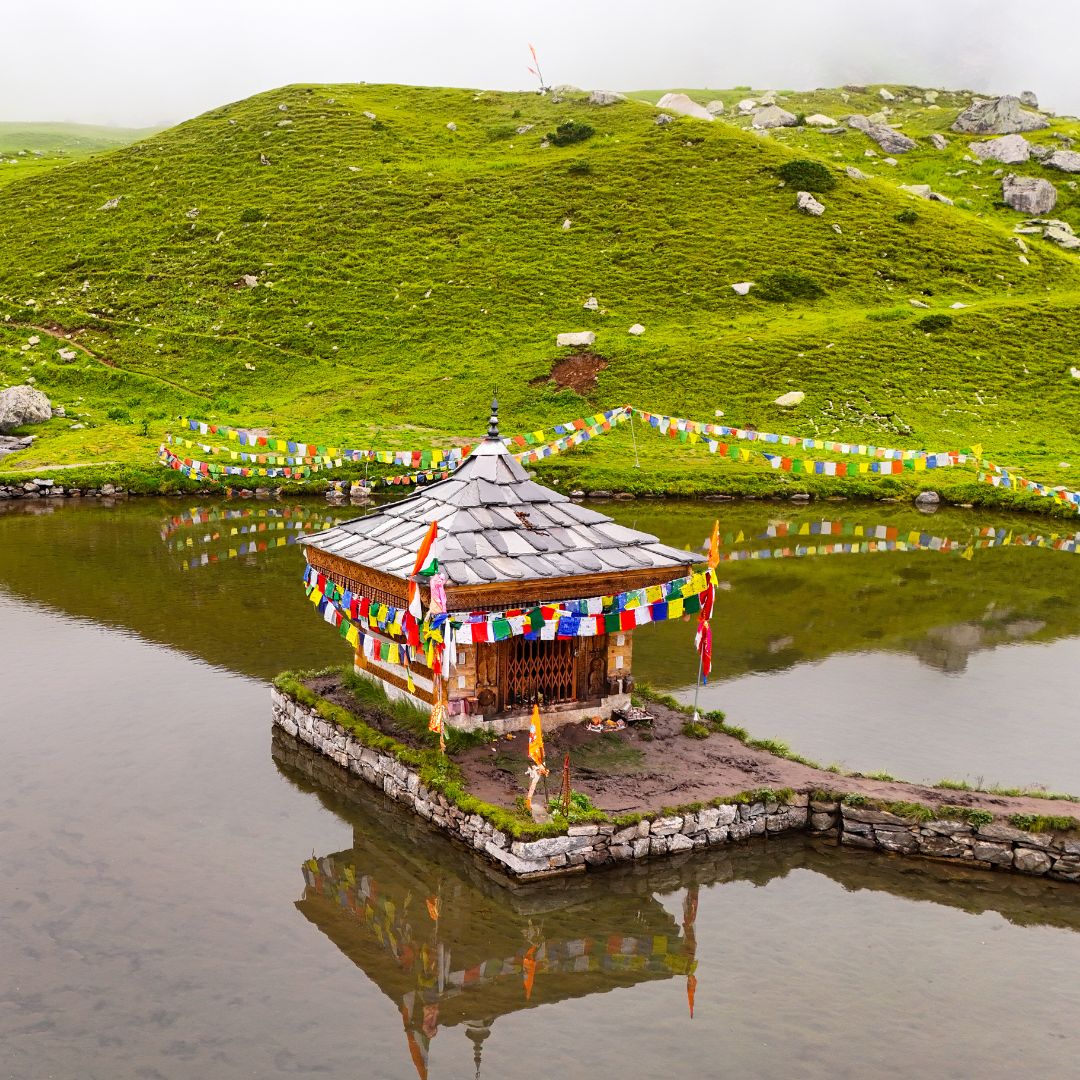
A quieter Kinnaur trek from Yulla Khas to a high-altitude lake and temple landscape, crossing forest and grazing ground above the Sutlej valley.
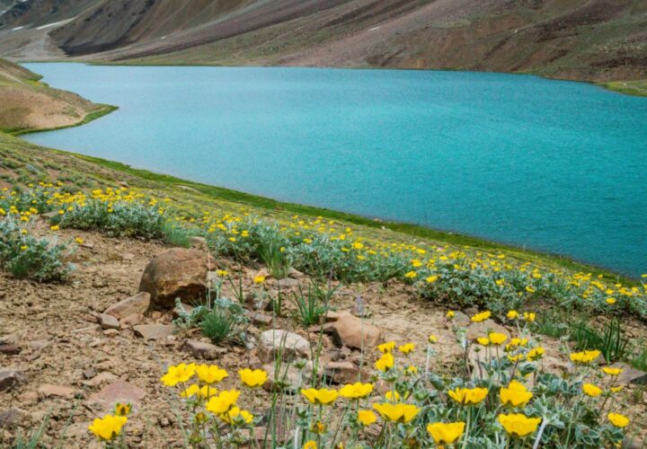
Yulla Kanda is a compact high-altitude trek with a strong local religious context. The Himachal trekking portal lists Yulla Trek at about 4,114 metres. From Yulla Khas, the route climbs through forest and pasture before reaching the exposed lake area. The relatively short itinerary should not obscure the altitude gain: acclimatisation, slow pacing and a weather-aware turnaround remain necessary. Visitors must respect temple customs and avoid camping or washing close to the lake unless specifically permitted.
Reach Yulla Khas from the Tapri side and begin on the locally confirmed trail. A sensible plan uses a lower forest or meadow halt before approaching Yulla Kanda on the second morning, then descends via the same route. Distance and camp location depend on road access and water.
May to June and September to October are the broad trekking windows. Early summer may retain snow, while the monsoon can bring cloud and unstable slopes to lower Kinnaur. Autumn often has clear views but cold nights. Ask locally about temple events and route access.
Yulla Khas to forest or meadow camp | Meet the local guide, check water availability and climb steadily to the selected halt.
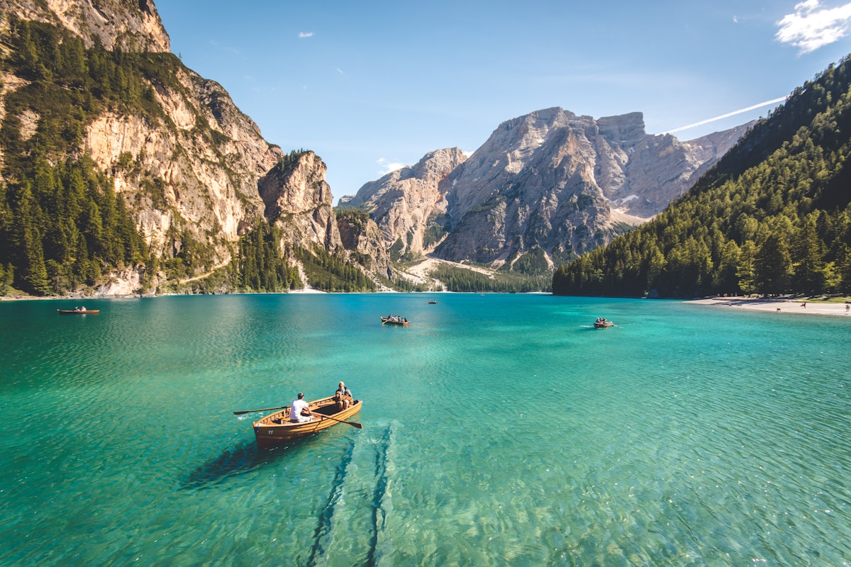
Yulla Kanda excursion | Start early, approach the lake and temple area only in suitable conditions, then return to the lower camp.
Descend to Yulla Khas | Walk back to the village and continue by road with time for delays.
Yulla Kanda Trek uses the camps, village rooms or simple mountain accommodation appropriate to its 3 Days / 2 Nights route. The final plan must name each halt and meal arrangement because facilities can change by season.
The transfer plan for Yulla Kanda Trek must state how the group reaches Yulla Khas village and where it finishes. Snow, road damage or local controls can move the practical pickup point.
The state trekking portal lists the Yulla Trek at about 4,114 metres.
Fit beginners with prior hill-walking experience may consider it with acclimatisation and local guidance.
Use only locally permitted sites and keep well away from the water and temple precinct.
Seasonal sources vary; carry treatment and confirm the plan before leaving the village.
The trail rises quickly above 4,000 metres, where altitude symptoms can affect even fit travellers.

A high-altitude traverse from Kunzum Pass towards the Moon Lake, trading the Batal road approach for a quieter walk across open Spiti terrain.
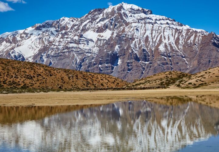
A short but steep high-altitude hike from historic Dhankar village to a quiet lake above the Spiti–Pin river confluence.
A very high non-technical trekking peak above Kibber, offering a vast Spiti panorama but demanding excellent acclimatisation, fitness and stable weather.