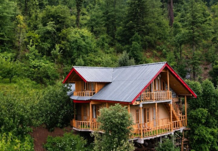
Day hike
Chail towards Jhaja and return or pickup | Start after an access briefing, follow the guide on the approved forest route, pause away from water sources, and reach the pickup or turn back at the pre-agreed time.
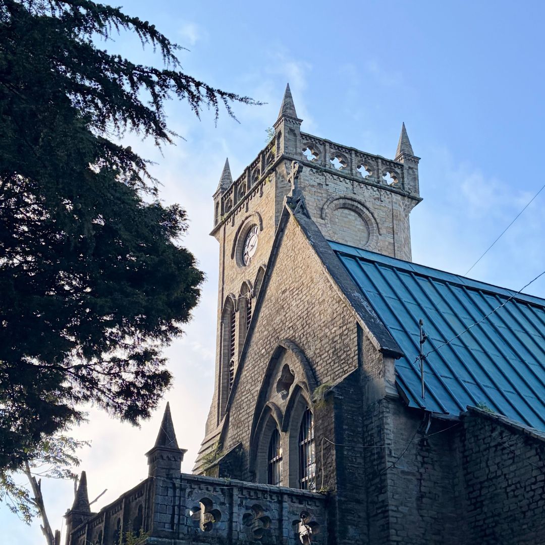
A longer forest ramble from Chail towards Jhaja, recommended by Himachal Tourism for walkers interested in wildlife habitat and quieter ridge country.
The Chail–Jhaja trek is the more exploratory companion to the Gaura route. Himachal Tourism names both walks as recommended ways to experience the sanctuary’s wildlife habitat. The value lies in the forest itself—bird calls, tracks, changing tree cover and quiet ridge views—rather than a single landmark. Navigation can be ambiguous, mobile coverage patchy and water unreliable, so this should be treated as a guided full-day outing with a fixed turnaround time.
Begin from the agreed point in Chail and follow the current forest track towards Jhaja. Depending on permission and transport, the walk can be point-to-point or return along the same route. Confirm distance, water and pickup arrangements on the day; never assume an online line crosses open forest.
March to June and September to November are the preferred seasons. Forest temperatures are comfortable in spring and autumn. Monsoon rain increases slips and leeches, while winter frost or snow can slow the route. Forest-fire controls may affect access in dry periods.
Chail towards Jhaja and return or pickup | Start after an access briefing, follow the guide on the approved forest route, pause away from water sources, and reach the pickup or turn back at the pre-agreed time.
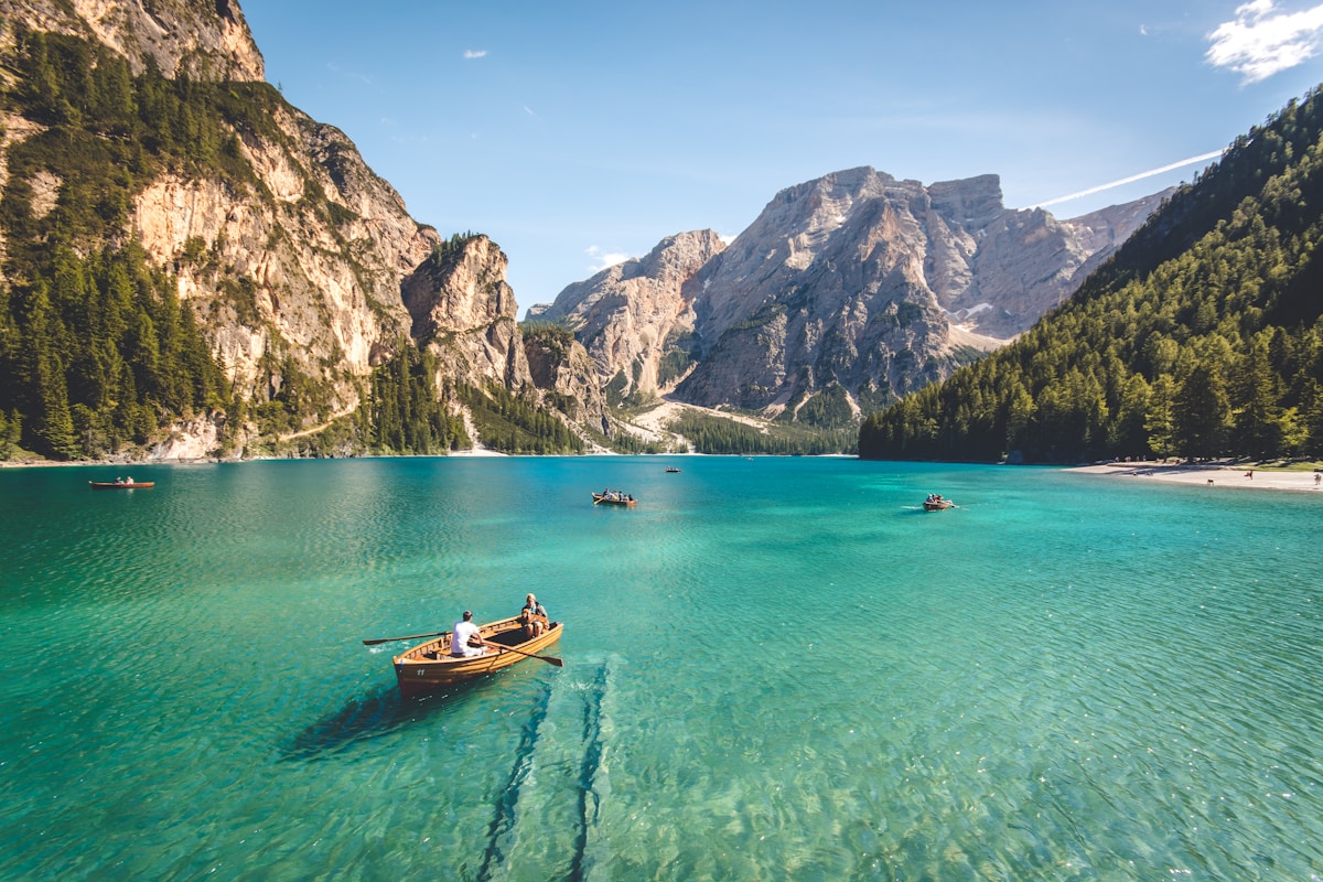
Chail to Jhaja Forest Trek uses the camps, village rooms or simple mountain accommodation appropriate to its 1 Day route. The final plan must name each halt and meal arrangement because facilities can change by season.
The transfer plan for Chail to Jhaja Forest Trek must state how the group reaches Chail and where it finishes. Snow, road damage or local controls can move the practical pickup point.
Jhaja is a separate recommended forest direction and may involve a longer, more exploratory day.
Do not rely on continuous signs; use a guide familiar with current forest access.
Coverage can be patchy, so share the route and expected finish time before leaving.
Water, lunch, rain protection, a warm layer, sun protection and footwear with grip.
Yes. Weather, fire risk, wildlife management or forestry work can restrict access.

A high-altitude traverse from Kunzum Pass towards the Moon Lake, trading the Batal road approach for a quieter walk across open Spiti terrain.

A short but steep high-altitude hike from historic Dhankar village to a quiet lake above the Spiti–Pin river confluence.

A very high non-technical trekking peak above Kibber, offering a vast Spiti panorama but demanding excellent acclimatisation, fitness and stable weather.