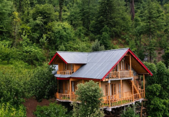
Day 1
Dharamkot to Triund | Complete equipment and weather checks, then climb through Gallu Devi Temple and forest to the Triund area.
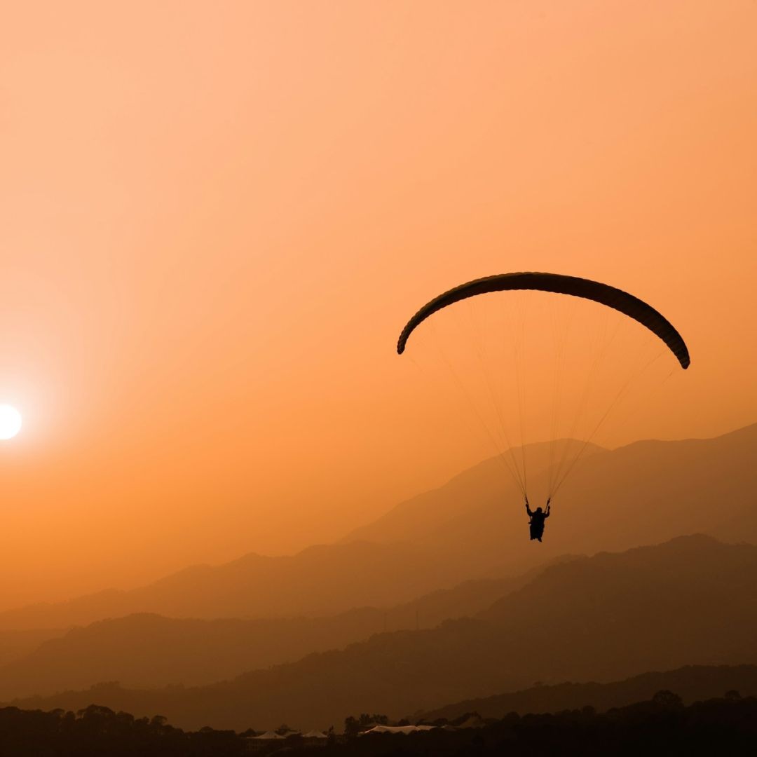
A demanding Dhauladhar pass trek from Dharamkot via Triund, Laka Got and Lahesh Cave to the high Kangra–Chamba divide.
Indrahar Pass is a serious high-altitude objective above Dharamshala, not simply a longer version of the Triund walk. The route climbs through Triund and Laka Got before entering steep, rocky upper terrain near Lahesh Cave and the pass. At roughly 4,342 metres, weather, snow and altitude become central planning factors. Trekkers need good endurance, prior multi-day hiking experience and a willingness to turn around when the guide considers the final ascent unsafe.
From Dharamkot or Gallu Devi Temple, the route climbs through Triund to Laka Got and Lahesh Cave before the steep final ascent to Indrahar Pass. The pass sits on the Kangra–Chamba divide at roughly 4,342 metres. This is a high-altitude route with exposed upper terrain, so the crossing depends on snow, visibility and the guide’s assessment.
May to June and September to October are the usual windows. Snow can block the pass early in the season, the monsoon increases cloud and rockfall risk, and autumn nights become very cold. Build in a weather buffer and never treat the pass crossing as guaranteed.
Dharamkot to Triund | Complete equipment and weather checks, then climb through Gallu Devi Temple and forest to the Triund area.
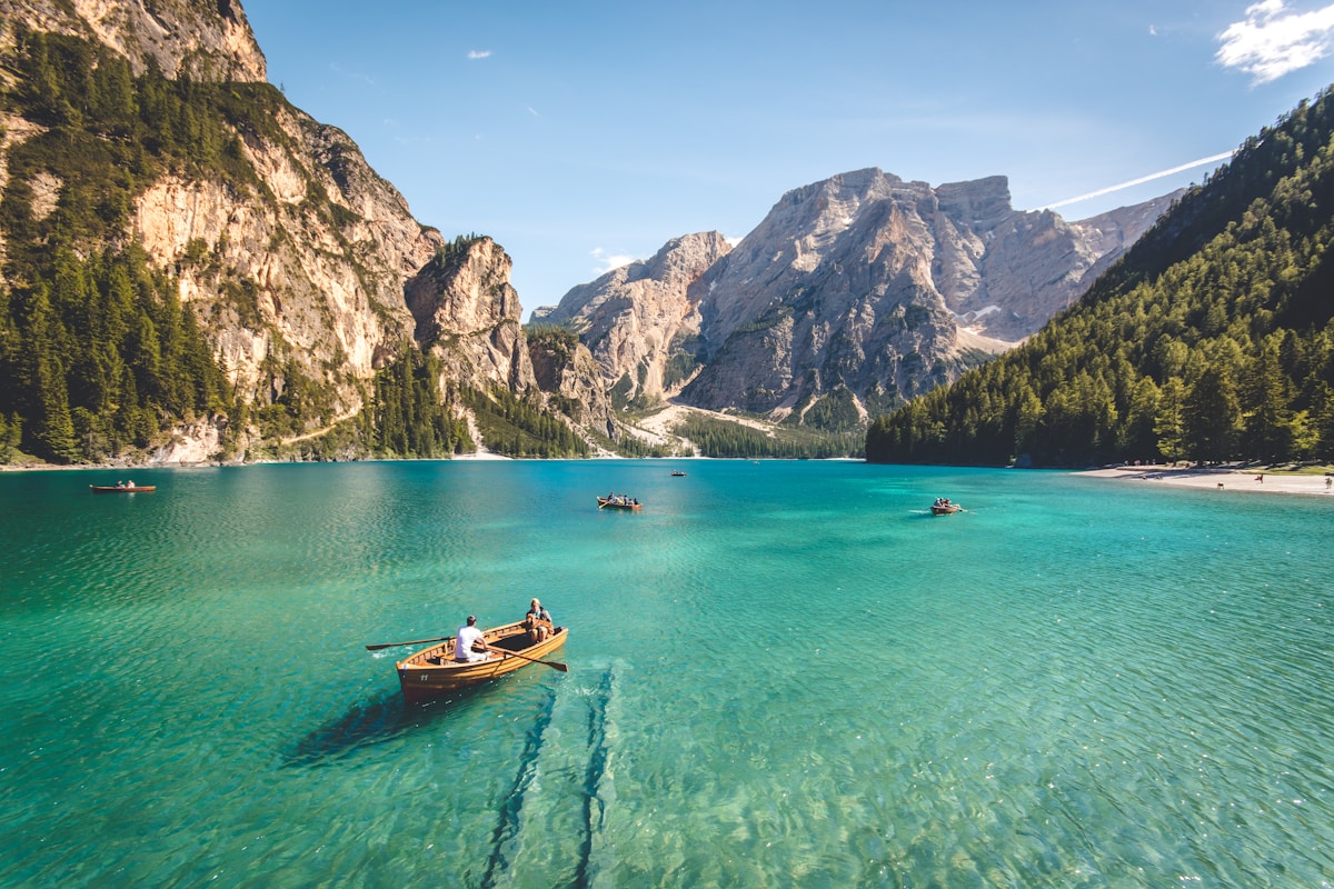
Triund to Laka Got or Lahesh area | Continue into rockier alpine terrain and settle at the guide-selected camp according to snow and water availability.
Indrahar Pass attempt and return | Start before daylight for the steep upper route. Reach the pass only if snow, visibility and group condition are safe, then descend to camp.
Descend to Dharamkot | Walk back through Triund and Gallu with adequate daylight and transfer to Dharamshala.
Expect simple mountain accommodation or camping and practical trek meals. Exact arrangements depend on the season, route permissions and final quotation.
Road transfers are confirmed separately. Trailheads and pickup points may change when roads, local rules or weather affect access.
No. Prior multi-day trekking experience, strong fitness and comfort on steep terrain are recommended.
The pass is commonly listed at about 4,342 metres above sea level.
No. Snow, cloud, rockfall risk, group health or changing weather may require an earlier turnaround.
Yes. A gradual itinerary, hydration and honest reporting of altitude symptoms are essential.
The monsoon can bring poor visibility, slippery rock and higher route risk, so it is generally avoided for the pass crossing.

A short trek from Solang Valley to the alpine source area of the River Beas, surrounded by meadows, glaciers and Manali’s high peaks.

A popular Parvati Valley trek from Barshaini through forest, villages and waterfalls to the Kheerganga meadow and temple area.

A forest and ridge trek in Sirmaur leading to the Churdhar summit area, known for expansive Himalayan views and the Shirgul Maharaj temple.