Day hike
Shimla to Khatnol, Shali Tibba and back | Leave Shimla early, begin walking from Khatnol, climb at a steady pace to the temple and viewpoint, and start the descent with enough daylight for the drive back.
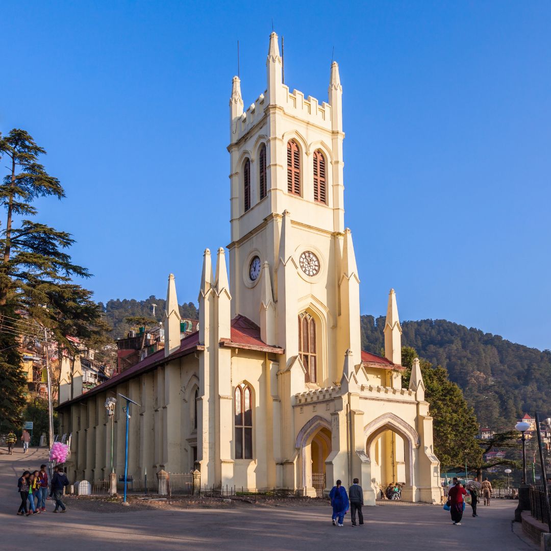
A steep day climb from Khatnol village to the Bhima Kali temple on Shali Tibba, rewarded with a complete panorama of surrounding peaks and valleys.
Shali Tibba is one of the strongest full-day walks within reach of Shimla. Himachal Tourism describes the temple-topped summit at about 2,872 metres and notes that it is reached by a gruelling uphill trek from Khatnol. The stone and forest path is straightforward to follow in fair weather but the sustained gradient requires more stamina than its modest distance suggests. The summit temple is an active place of worship, and walkers should keep the site clean, quiet and alcohol-free.
Drive roughly 45 kilometres from Shimla to Khatnol, then follow the established uphill path through forest and open slopes to Shali Tibba. Descend by the same route. Starting early is important because the return is long and the upper ridge can cloud over in the afternoon.
March to June and September to November are usually comfortable. Spring can be cool at the top, summer mornings are preferable, and autumn often delivers the clearest views. Monsoon rain makes the steep path slippery; winter snow or ice may require a postponement.
Shimla to Khatnol, Shali Tibba and back | Leave Shimla early, begin walking from Khatnol, climb at a steady pace to the temple and viewpoint, and start the descent with enough daylight for the drive back.
Shali Tibba Trek uses the camps, village rooms or simple mountain accommodation appropriate to its 1 Day route. The final plan must name each halt and meal arrangement because facilities can change by season.
The transfer plan for Shali Tibba Trek must state how the group reaches Khatnol Village and where it finishes. Snow, road damage or local controls can move the practical pickup point.
Himachal Tourism lists the summit temple at about 2,872 metres.
The official tourism page gives a road distance of about 45 kilometres.
Fit beginners can consider it, but should be prepared for a continuous steep ascent and descent.
Do not rely on permanent stalls. Carry water and food, and take all packaging back.
It is better to avoid days of heavy rain, fog or thunderstorms because the trail becomes slippery and views disappear.

A high-altitude traverse from Kunzum Pass towards the Moon Lake, trading the Batal road approach for a quieter walk across open Spiti terrain.

A short but steep high-altitude hike from historic Dhankar village to a quiet lake above the Spiti–Pin river confluence.

A very high non-technical trekking peak above Kibber, offering a vast Spiti panorama but demanding excellent acclimatisation, fitness and stable weather.