Day 1
Janjehli to upper halt | Drive to the safest open roadhead, then climb steadily through forest towards the selected seasonal halt.
A sustained forest-and-ridge climb in Mandi’s Seraj region to the roofless Shikari Devi temple and wide views from the district’s highest peak.
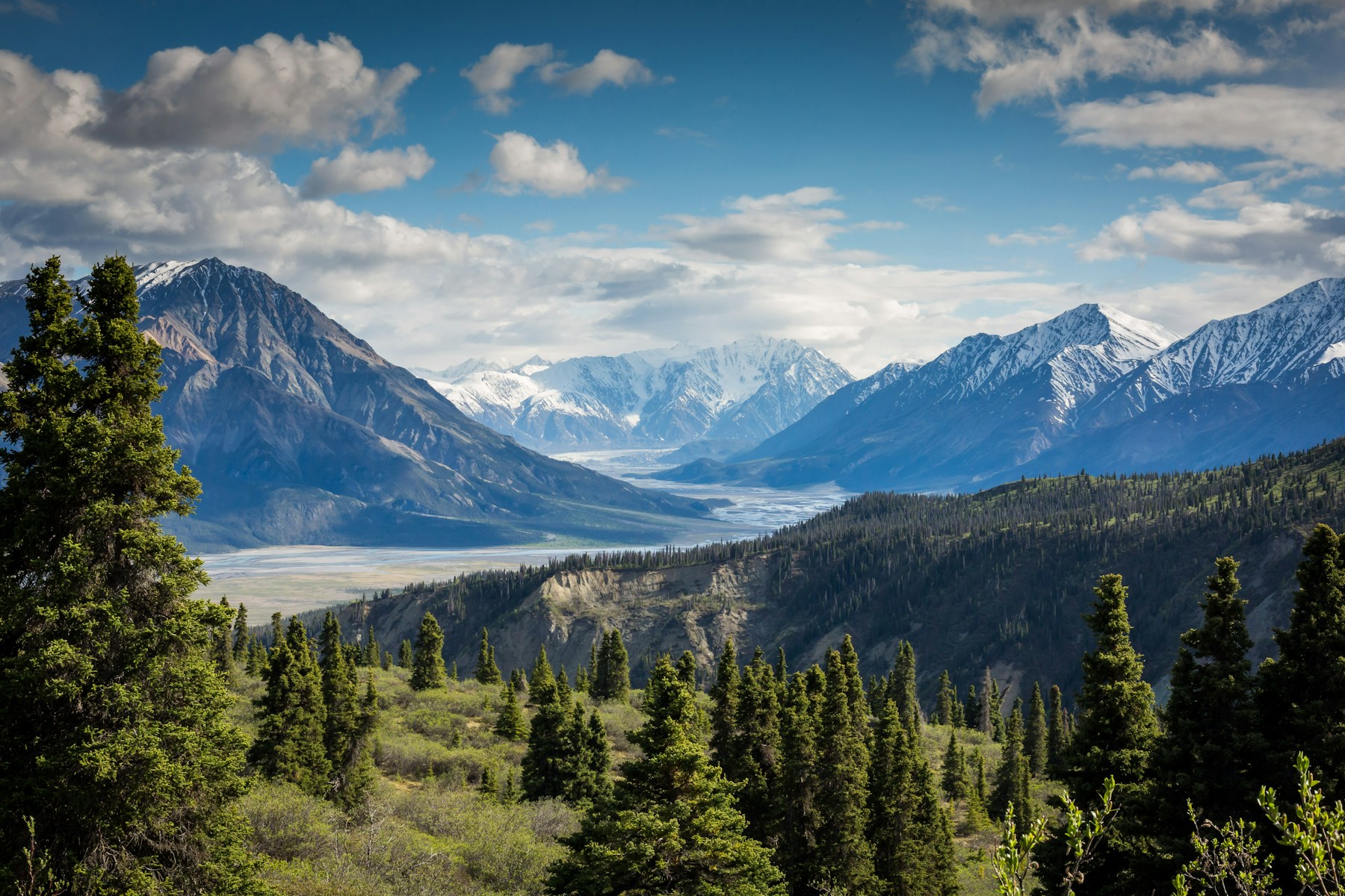
Shikari Devi rises above the Janjehli landscape and is described by Himachal Tourism as the highest peak in Mandi district. The roofless hilltop shrine is both a pilgrimage site and a strong walking objective, so visitors should combine trail preparation with respectful behaviour. Road access may shorten the route in fair conditions, while the longer approaches from the Janjehli side create a proper two-day trek. Snow, wind and fog can make the exposed summit feel much more serious than its non-technical path suggests.
Janjehli is the main service base. Depending on road condition, the trek can begin around Bakhrot or another locally confirmed point and climb through forest and open ridge country to Shikari Devi. Himachal Tourism notes a roughly 15-kilometre trek from Janjehli; a jeepable forest road can change the actual walking distance.
April to June and September to November are the most dependable windows. Spring and early summer offer longer days, while autumn is often clearer. Monsoon rain can obscure the ridge and make forest tracks slippery; winter snow and wind can restrict access. Confirm the roadhead before quoting a distance.
Janjehli to upper halt | Drive to the safest open roadhead, then climb steadily through forest towards the selected seasonal halt.
Shikari Devi and return | Start early for the summit temple, follow local worship rules, and descend before afternoon weather or fading light.
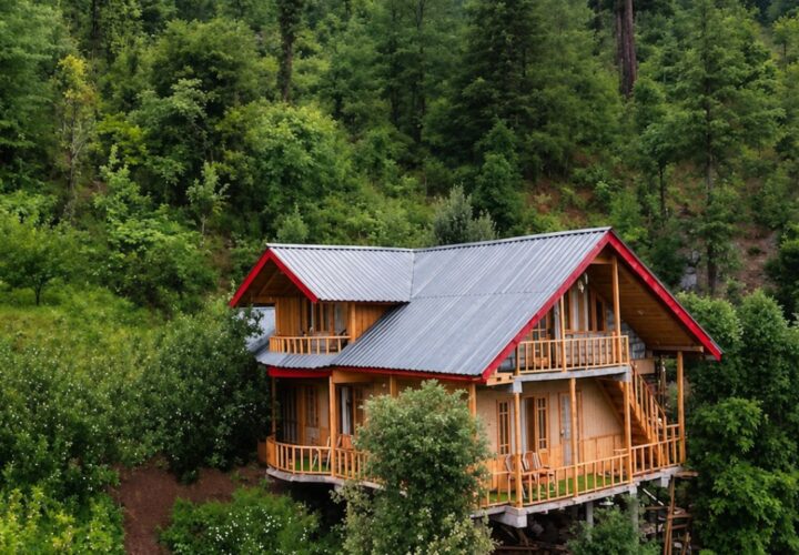
Shikari Devi Trek uses the camps, village rooms or simple mountain accommodation appropriate to its 2 Days / 1 Night route. The final plan must name each halt and meal arrangement because facilities can change by season.
The transfer plan for Shikari Devi Trek must state how the group reaches Janjehli / Bakhrot and where it finishes. Snow, road damage or local controls can move the practical pickup point.
Himachal Tourism lists the peak at about 3,359 metres.
The tourism department describes a 15-kilometre trek, but road access may change the practical starting point.
A shorter day trip may be possible from a higher roadhead; the two-day plan is safer for the longer walking route.
Access and local facilities are seasonal. Snow or road closures may prevent a winter visit.
Dress respectfully, avoid alcohol and loud behaviour, and follow instructions from temple caretakers and local residents.

A high-altitude traverse from Kunzum Pass towards the Moon Lake, trading the Batal road approach for a quieter walk across open Spiti terrain.

A short but steep high-altitude hike from historic Dhankar village to a quiet lake above the Spiti–Pin river confluence.

A very high non-technical trekking peak above Kibber, offering a vast Spiti panorama but demanding excellent acclimatisation, fitness and stable weather.