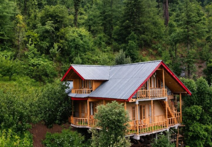
3 Days / 2 Nights · Moderate

Yulla Kanda Trek

A quieter Kinnaur trek from Yulla Khas to a high-altitude lake and temple landscape, crossing forest and grazing ground above the Sutlej valley.

Trek overview facts

Trek essentials

Duration3 Days / 2 Nights
Group sizePrivate / small group
Best timeMay to June and September to October
Maximum altitudeAbout 4,114 m
Start pointYulla Khas village
DifficultyModerate
Trek overview

Everything You Need to Know

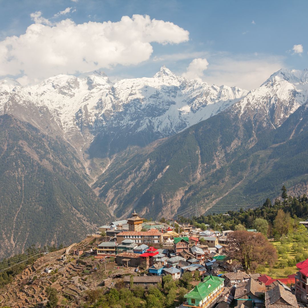
Yulla Kanda is a compact high-altitude trek with a strong local religious context. The Himachal trekking portal lists Yulla Trek at about 4,114 metres. From Yulla Khas, the route climbs through forest and pasture before reaching the exposed lake area. The relatively short itinerary should not obscure the altitude gain: acclimatisation, slow pacing and a weather-aware turnaround remain necessary. Visitors must respect temple customs and avoid camping or washing close to the lake unless specifically permitted.

Trek Highlights

  • Begin in Yulla Khas above the Sutlej valley
  • Climb through Kinnaur forest and pasture
  • Reach the high lake-temple landscape
  • Experience a less-commercial trekking route
  • Travel with respect for local worship practices
Trail guide

Yulla Kanda Trek Route and Distance

Reach Yulla Khas from the Tapri side and begin on the locally confirmed trail. A sensible plan uses a lower forest or meadow halt before approaching Yulla Kanda on the second morning, then descends via the same route. Distance and camp location depend on road access and water.

Choose your dates

Best Time for the Yulla Kanda Trek

May to June and September to October are the broad trekking windows. Early summer may retain snow, while the monsoon can bring cloud and unstable slopes to lower Kinnaur. Autumn often has clear views but cold nights. Ask locally about temple events and route access.

Day by day

Trek Itinerary

01

Day 1

Yulla Khas to forest or meadow camp | Meet the local guide, check water availability and climb steadily to the selected halt.
02

Day 2

Yulla Kanda excursion | Start early, approach the lake and temple area only in suitable conditions, then return to the lower camp.

03

Day 3

Descend to Yulla Khas | Walk back to the village and continue by road with time for delays.

What’s Included

  • A trek leader familiar with Yulla Kanda Trek
  • A route and weather briefing at Yulla Khas village
  • The camps or simple stays named in the confirmed itinerary
  • Only meals and local transfers itemised for this 3 Days / 2 Nights route
  • Permits specifically confirmed for the departure

Not Included

  • Travel to Yulla Khas village unless listed in the quotation
  • Personal equipment not named in the Yulla Kanda Trek gear package
  • Rescue, evacuation, insurance and medical expenses
  • Food or lodging outside the confirmed 3 Days / 2 Nights itinerary
  • Personal purchases and unlisted services

Stay, Meals and Transport

Stays & Meals

Yulla Kanda Trek uses the camps, village rooms or simple mountain accommodation appropriate to its 3 Days / 2 Nights route. The final plan must name each halt and meal arrangement because facilities can change by season.

Transport

The transfer plan for Yulla Kanda Trek must state how the group reaches Yulla Khas village and where it finishes. Snow, road damage or local controls can move the practical pickup point.

Booking and Cancellation

  1. Yulla Kanda Trek operates only when its route and weather are considered safe.
  2. The leader may change a camp, shorten a stage or turn back below About 4,114 m.
  3. Insurance should cover trekking at this elevation and emergency evacuation.
  4. Participants must disclose medical conditions relevant to a Moderate trek before confirmation.

Yulla Kanda Trek FAQs

How high is Yulla Kanda?

The state trekking portal lists the Yulla Trek at about 4,114 metres.

Is this a beginner trek?

Fit beginners with prior hill-walking experience may consider it with acclimatisation and local guidance.

Can I camp beside the lake?

Use only locally permitted sites and keep well away from the water and temple precinct.

Is drinking water available?

Seasonal sources vary; carry treatment and confirm the plan before leaving the village.

Why should I acclimatise first?

The trail rises quickly above 4,000 metres, where altitude symptoms can affect even fit travellers.